In drilling operations, surface measurements can be taken to complement magnetic ranging. These allow you to map and monitor the Earth’s field more accurately. The extra in situ data is fed into the magnetic models used to determine the drill path.
The Mag-01H DI allows you to map the local magnetic field declination and inclination with precision to a few seconds of arc. A grid of measurement points over the well path is surveyed, and magnetic models updated to account for the local geology and field variations.
This in-field referencing method provides the lowest errors possible in directional accuracy.
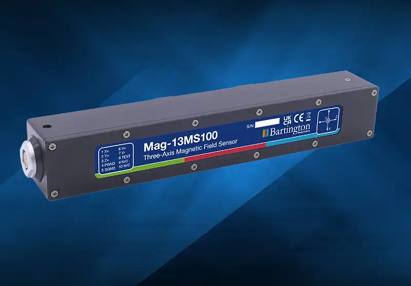
For offshore mapping operations, use a high precision three-axis sensor such as the Mag-13, combined with sensors recording the motion of the sensor, which compensating for field variations associated with the sensor’s movement.
In drilling operations, surface measurements can be taken to complement magnetic ranging. These allow you to map and monitor the Earth’s field more accurately. The extra in situ data is fed into the magnetic models used to determine the drill path.
The Mag-01H DI allows you to map the local magnetic field declination and inclination with precision to a few seconds of arc. A grid of measurement points over the well path is surveyed, and magnetic models updated to account for the local geology and field variations.
This in-field referencing method provides the lowest errors possible in directional accuracy.
For offshore mapping operations, use a high precision three-axis sensor such as the Mag-13, combined with sensors recording the motion of the sensor, which compensating for field variations associated with the sensor’s movement.